BY CHARLIE SCHULER
A lot of people have asked me where my wife and I got the courage to go out into the ocean, and specifically the Bermuda Triangle, for long periods of time. As I think about it, I realize that it isn’t courage, but it is preparation.
When Marianne and I decided that we wanted to retire early and go sailing, we started making that our priority. We became active in the United States Power Squadrons, also known as America’s Boating Club, and took all their courses. The USPS was formed in 1914 for the primary purpose to teach their members all aspects of boating. I had taken my first course when I had my first boat, back in 1964 but hadn’t done anything since. So, we decided that Marianne should start with the America’s Boating Course. Then, we moved into an in-depth study of boat handling, called Seamanship, which included more about safety, lines, and anchoring.
Next, we needed to learn about charts. No, not maps, charts. The main difference is that charts show what’s under the water. This included things like depths, currents, and tides. Then we took the supplementary courses like weather, marine electronics, and engine maintenance. This is normally enough for the coastal boater, but we had other ideas. We wanted to travel to various distant places, which meant that we had to understand celestial navigation as well.

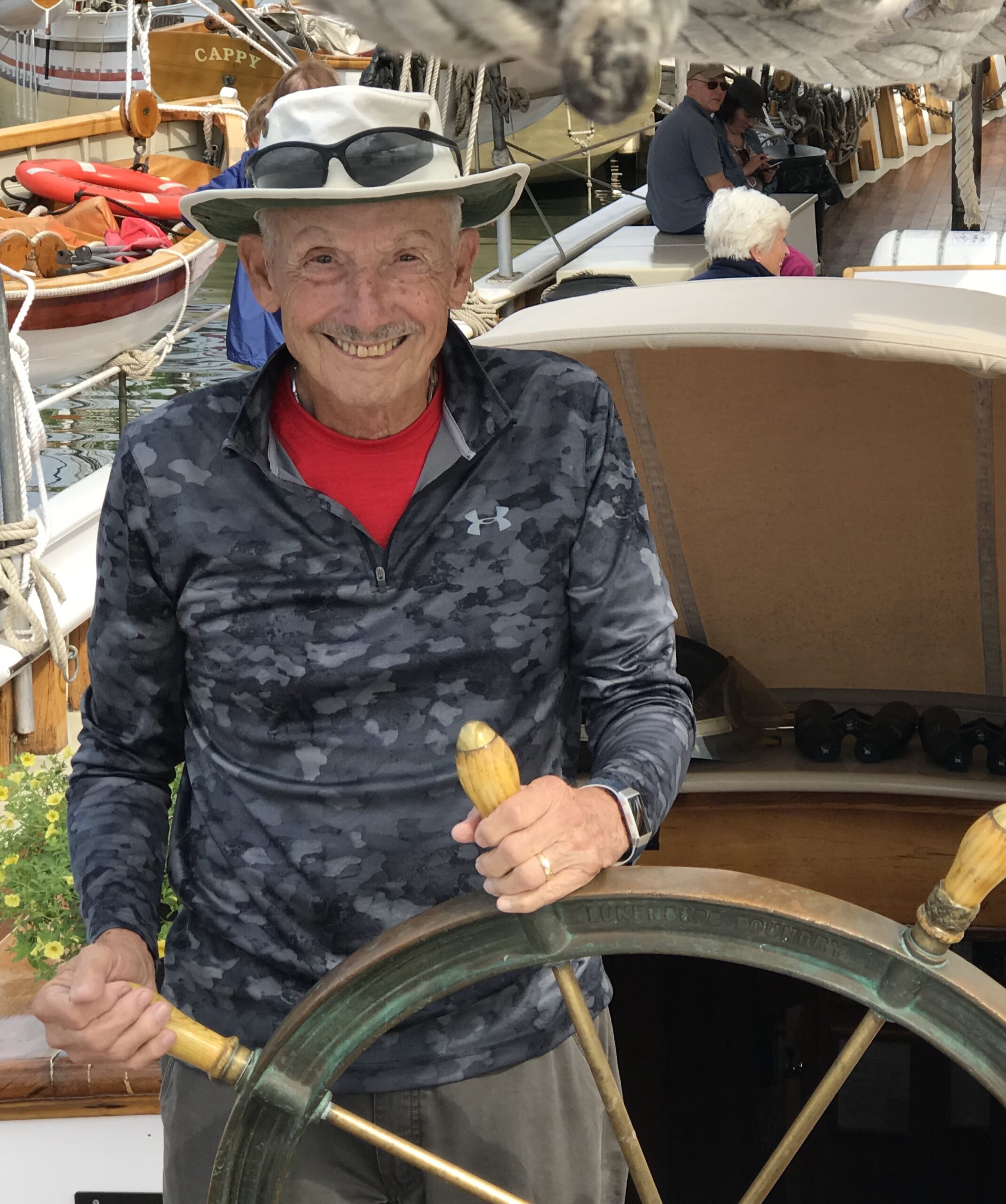
Celestial navigation is a study in and of itself, and Price Henry of Portugal is given credit as the father of celestial navigation. Basically, it is where you take a sight on a heavenly body either a sun, moon, star, or planet, using a sextant (see photo). Then, you reduce or do the math to find a (LOP) Line of Position on the earth where you are at the time. You will need three different LOP’s to get an accurate position.
The GPS uses this process to tell you where you are today. The GPS has placed over 20 satellites in the sky at specific known locations, and they travel at the same speed the world is rotating. Therefore, the GPS doesn’t have to use heavenly bodies to calculate their positions.
Early sailors didn’t have very accurate timepieces. They had a sextant where they could measure the angle of a heavenly body relative to the horizon, which we call LATITUDE. However, they couldn’t determine the LONGITUDE, which is the distance from Greenwich, England. So, sailors would sail across the ocean on the same latitude and estimate their longitude.
What good is all this knowledge, unless you put it to use? We did and would sail every weekend while we were working. At the time, we had a 34’ O’Day (see photo).

Keeping the sailboat on a mooring made it easy for us to get to the boat and use it. We were at Raritan Yacht Club in Perth Amboy, New Jersey which opened to the Atlantic Ocean. This was our point of departure when we decided to put our sailing education to use. We were still working full-time, but we figured that we could take a week to sail to Bermuda, stay there for a week, and take a week to sail back to New Jersey. This would be a real test of our sailing abilities. Sailing 650 miles of open ocean each way across the Gulf Stream to find a tiny island like Bermuda was a real challenge. No GPS at the time, and LORAN didn’t reach out that far with any accuracy. We would use the sextant and Dead Reckoning. Not sure where that name came from, but what it means is that periodically, like once every hour, you record your course direction and estimate your speed for that period of time, then plot it on your chart.
Legally, you must maintain a watch 24 hours per day, and even more important, you had to make sure you would not be run over by a large cruise or cargo ship. It only takes a large ship about 15 minutes to come over the horizon and hit you. It’s important to remember that they cannot turn very fast, and it takes even more time to stop. Our answer to the problem was a watch schedule. It was difficult to do with two people, but we made it work. We started our routine when I got tired and needed to sleep. Marianne was on watch for the next two hours, and then I had it for the following two hours, and so on. Not needing a schedule during the day, we had a little timer that we would set for 15 minutes. We would check the horizon and reset the timer. We also recorded the DR and post on the hour.
My hope for this article is that you can see that we didn’t just turn the key and take off. It took a LOT of preparation but was well worth the effort. Our time on the water was FANTASTIC! Later, we upgraded the sailboat to a 42’ Tayana, and oh the places we sailed during that time, covering over 20,000 miles.